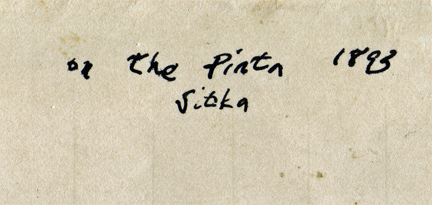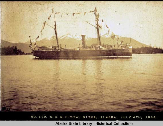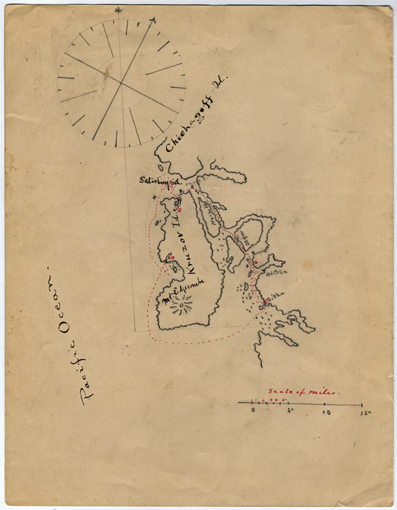
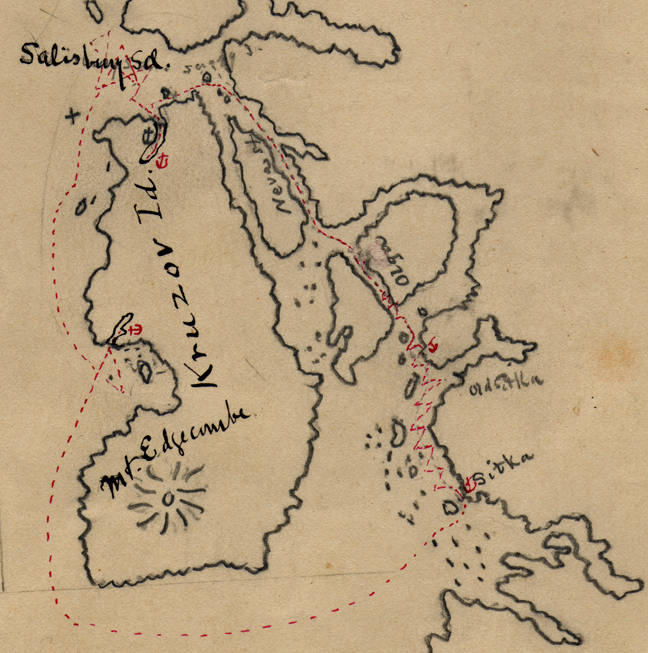
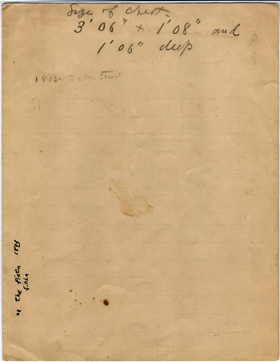
Manuscript Map of Alaska Original 1893 manuscript map of Kruzof Island & Chichagof Island. It was drawn by an officer, Armistead Rust, aboard the navy vessel USS Pinta. Rust served on the Pinta, Saratoga, Jamestown, & Constellation. Size about 8 inches by 10 inches. folded, on a piece of lightly lined paper. Notation on the back. It shows a scale and compass rose. A volcano: Mount Edgecombe. Also included on this map is Salisbury Sound, the southern edge of Chichagof Island, Neva Strait, Sitka and Old Sitka. Photo of the ship is not included. [shelf locator: Ephemera Notebook: Sitka] [keywords: ] Very good. [shelf locator: Misc Bookcase] $25 plus $5.00 postage & packing & insurance (international orders extra) for this book. To order this item email dick@AlaskaWanted.com $500 plus $10.00 postage & packing & insurance (international orders extra) for this map. To order this item email dick@AlaskaWanted.com |
|
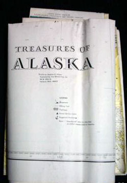
Stephen Hilson's Treasures of Alaska Rare set of 3 treasure maps of Alaska published in 1974. Exceedingly scarce. The maps show old gold mines, canneries, abandoned villages, shipwrecks, etc. One map is in fair condition, other two good. This is the set of three maps (the map shown below is a duplicate single map from this set, also for sale, separately). [shelf locator: MapCase drawer #LARGE MAPS. SOLD To order this item email dick@AlaskaWanted.com |
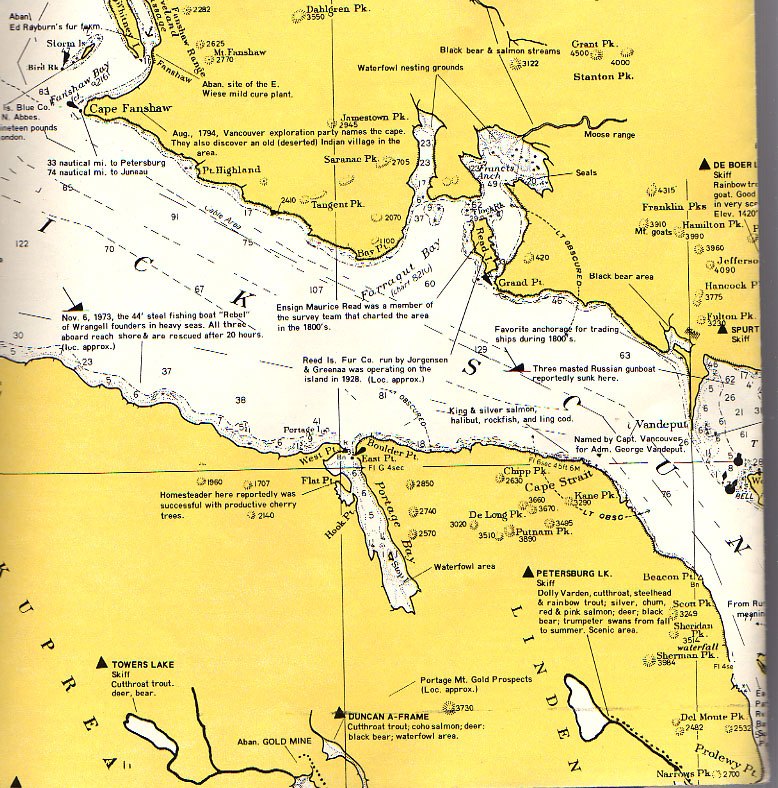
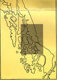
Stephen Hilson TREASURES OF ALASKA MAP Single treasure map of Alaska published in 1974. Exceedingly scarce. This map covers the shaded area of the inset map (the central panhandle), which includes the northern end of Prince of Wales Island. The maps show old gold mines, canneries, abandoned villages, shipwrecks, etc. The map is in good condition with wear at the folds. [shelf locator: MapCase drawer #LARGE MAPS. One map. SOLD |
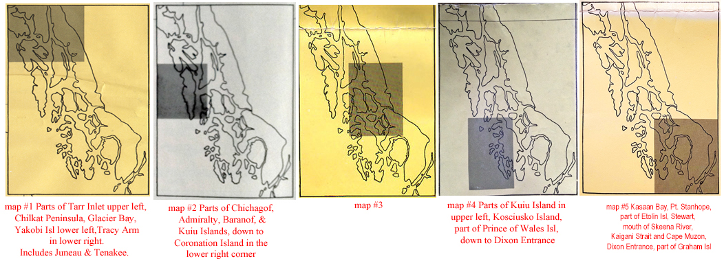
Stephen Hilson TREASURES OF ALASKA MAPS At present I have map #5 in overall very good condition (folded as is usual). Located in packing room file. From time to time I get other single Hilson treasure maps. Here are the areas that each of the five maps cover (there are variations to his maps). Ask me if I have any others in stock. They are bloody difficult to find! email dick@AlaskaWanted.com |
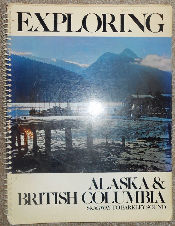
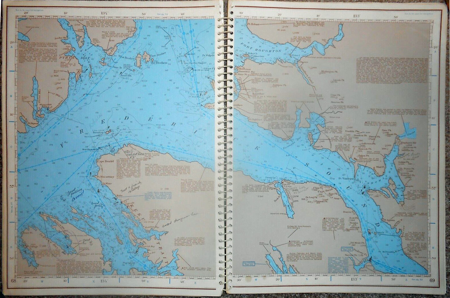
Stephen E. Hilson Exploring Alaska & British Columbia The rare first edition People in Southeast Alaska, who know both editions, want the original edition. Very good condition. Stephen Hilson died at age 39, six days before Christmas. [shelf locator: oversize books] $295 plus $15.00 postage & packing & insurance for this book. To order this item email dick@AlaskaWanted.com |
|
Vandermaelen
1825 Here is an original 1825 map of the Alaska Peninsula and Eastern Aleutian Islands and by Philippe Vandermaelen. It is from his "Atlas Universel de Geographie", folio (folded once as issued), Brussells, 1827, Scale ca. 1:1,100,000. This was the world's first large atlas on a uniform scale. The Atlas Universel was one of the most remarkable atlases ever made, with over 400 maps on a uniform scale, and completed in only three years. Philippe Marie Guillaume Vandermaelen was a Belgian geographer. Between the years 1825-1827 he published his six volume collection of maps. This was the first atlas of the world on a uniform scale and is probably the earliest map published at such a large scale for this region. |
||
This map shows the Alaska peninsula from 161W to 165 W and includes the Pribilof Islands, Cape Newenham, part of Bristol Bay [Golfe Kanitch], Unimak and Unimak Pass, Sanak Island and part of the Fox Islands, King Cove, Fort Randall, Kipnuk, lower part of Nunivak Island, Izembek National Wildlife Refuge, Cold Bay, False Pass, Akutan, and parts of the Alaska Maritime National Wildlife Refuge. VG condition. Original hand coloring. 20 x18
inches.
$195 plus $7.00 postage & packing &
insurance (international orders extra) for this map. To
order this item email dick@AlaskaWanted.com |